|
|
|

Revolutionizing Survey and Drone Imaging Analysis with MIPAR
|
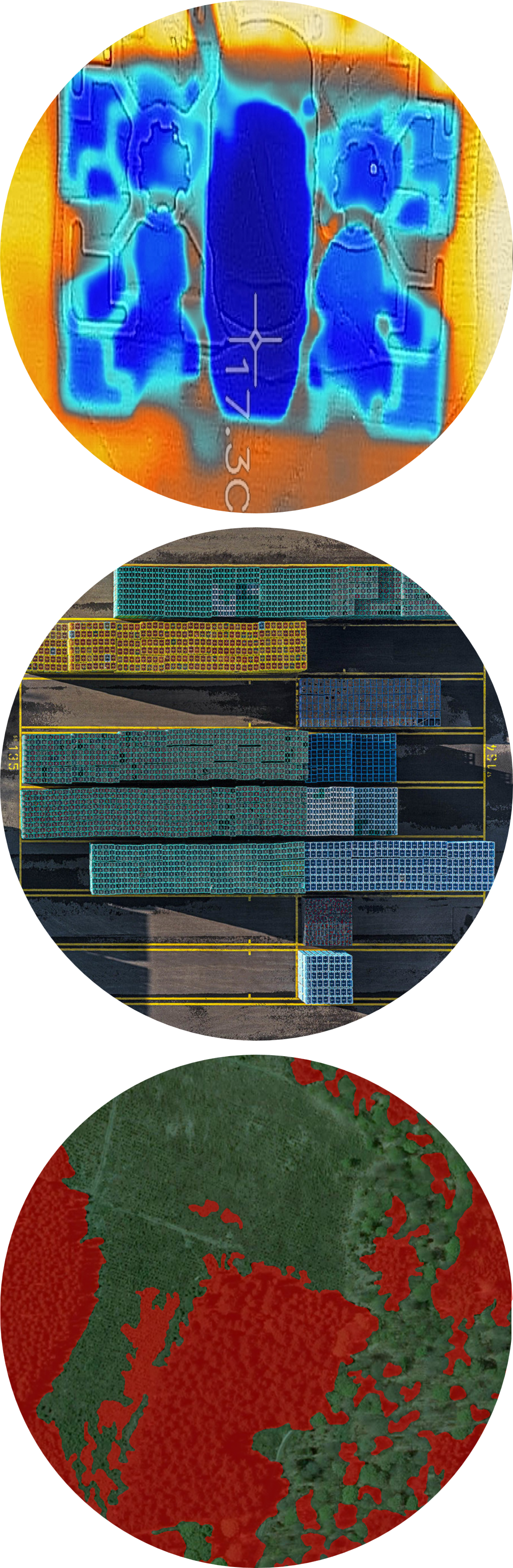
In the dynamic and evolving field of survey and drone imaging, precise and accurate analysis of extensive datasets is essential. Challenges arise in interpreting complex landscapes and structures from aerial perspectives, where detailed quantification and high-resolution observations are vital. MIPAR meets these specialized needs by offering advanced detection and measurement capabilities through an intuitive interface, tailored for survey and drone imaging applications.
|
Talk to an Applications Engineer

Agriculture
|

|
Inventory
|

|
Infrastructure
|

|

Check Out Our Products
|
|
MIPAR Base: our core product to analyze images from almost any source. Extensions enable Deep Learning models, Word reports and 3D data analysis. MIPAR Base Page >> |
|
|
Microscope Software: capture, analyze and report all in a single workflow with MIPAR Live. Check to see if your camera is supported. MIPAR Live Page >> |
|
|
Compliance Software: analyze, report, and approve in a 21 CFR Part 11 or GMP Annex 11 compliant environment with traceability. MIPAR Checkpoint Page >> |
|
|
MIPAR APIs: tools to help integrate MIPAR detection and measurement solutions into other software applications and workflows. APIs Page >> |
